
Trace a Stafford Township Street
Street-by-street research in Stafford Township begins with the land, not an assumed household list. The assessor, county tax list, and map tools use a parcel identity that can survive a changed mailing label or a subdivision. Start with the full address supplied by the person asking, preserve the spelling of the road, and note whether the result says Stafford Township, Manahawkin, West Creek, or another locality. A parcel result can identify a recorded owner or mailing field where it is visible. It does not prove that every person connected with an address lives there now.
- Open the Stafford Township MapGeo viewer and search or browse to the property. Record the location, block, lot, qualifier, and tax-map context displayed.
- Use the county tax list or tax map to compare that key with the property location. Keep the situs, meaning the physical property location, separate from any owner mailing field.
- Pan the same segment in the Ocean County GIS map hub. Click each parcel rather than assuming street numbers identify every lot.
- Search the Ocean County Clerk index by party, municipality, block and lot, or date. Inspect the deed image and linked records before treating a transfer as part of the chain.
- For dated household leads, use library sources and telephone directories, then compare the printed address with the parcel and year. A voter status check is name and birth-month/year based, not a public street browser.
That process makes a Stafford Township address search into a record trail. It also leaves room for a redaction, a no-match, or a parcel split when the records require one.
Stafford Township Street Parcel Keys
The Stafford Township Tax Assessor maintains property record cards, ownership records, tax deductions and tax maps. Its MapGeo viewer is the first address-keyed route, but the research review could not confirm the live labels or all required controls. Search results should therefore be copied exactly as displayed. Try the complete address, a variant surname only where the viewer exposes that option, and the block, lot, and qualifier in both punctuated and normalized forms.
| MapGeo field or control | Type | Required | Stafford Township use |
|---|---|---|---|
| Address or property search | Dynamic text or autocomplete | Confirm in live viewer | Use the full number and road name with the Stafford locality. |
| Owner name | Dynamic text if shown | Confirm in live viewer | Try exact and variant surnames; Daniel's Law can limit fields. |
| Block, lot, qualifier | Dynamic text if shown | Confirm in live viewer | Test dotted and normalized forms, with qualifier separately if needed. |
| Map browse and identify | Map control | No | Click the parcel and preserve its popup and displayed layer. |
| Search, reset, result controls | Buttons or links | Confirm in live viewer | Record live labels, result limits, and export behavior before relying on them. |
In 2026 the assessor reported a municipal-wide reassessment and a 100 percent assessed-to-market ratio. That is assessment context, not proof of current occupancy. The office also reports more than 14,800 taxable properties, a scale that makes block and lot more dependable than a casual street-name search.
Note: Dynamic MapGeo search labels were not exposed in the research text, so live interface details should be verified before quoting them.
Stafford Township Streets in GIS
Ocean County GIS is the geography layer for Stafford Township address research. It can show a street segment, parcel shapes, tax-map context, and adjacent geometry. Its available layers include parcels or cadastral data, easements and rights of way, imagery, zoning, FEMA flood data, tax maps, wetlands, streams, parks, farmland, subdivisions, and site plans. These layers explain why an address can be near a parcel without being the same parcel.
- Parcel
- A defined piece of land in the tax and map system, usually identified by municipality, block, lot, and sometimes qualifier.
- Situs address
- The physical location of the property. It is distinct from an owner's mailing address.
- Plat or tax map
- A mapped representation of lots, roads, easements, and related land geometry used to locate the legal key.
- Criss-cross directory
- A historical directory arranged by address rather than by surname. No verified Stafford run was published in the accessible catalog text.
The map is not owner proof by itself. Use its identify result to find the block and lot, then confirm names and dates through the tax list and recorded documents. When a whole block matters, list each parcel key along the map segment. A dotted lot or an easement can make a simple number sequence misleading.
Stafford Township Street Deed Links
The Ocean County Clerk Official Records Search is the recorded-document route for an address trail. Its online index begins April 1, 1977. Begin with the current parcel owner and key, search the likely purchase as a grantee, then read the deed for the grantor, legal description, recording date, and prior instrument. Search that seller as an earlier grantee to continue backward. When an address changes, switch from street text to a legal description or parcel key.
The captured Official Records Search interface is a useful reminder to review the result details instead of relying on a name line alone.
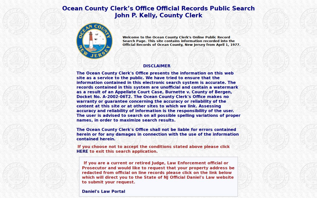
A deed result can place a grantor and grantee in a transaction, but it is not a full street directory of occupants. Compare the recording details to the parcel and inspect linked instruments before drawing a chain.
The Clerk help screen also explains the linked-document and image workflow shown in this reference image.
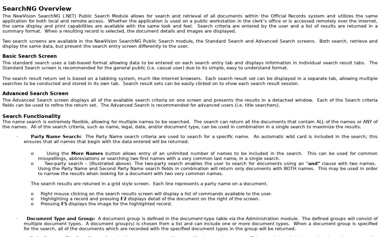
For instruments before the online cutoff, move to the Clerk office, archive and library routes rather than claiming that an online no-result closes the earlier chain.
Stafford Township Street Map Geometry
Stafford Township tax maps run from TM 1 through TM 129. The tax-map index is the local sheet route when a street record needs map geometry. Roads, easements, rights of way, sheet lines, and dotted lot identifiers can make a house number look simpler than the land record beneath it. A subdivision or consolidation may change the block and lot even when a building remains in place.
This is a geography interest point with a practical effect: a current tax map and an older deed can describe the same place with different parcel labels. Preserve both labels, the sheet reference, and the document date. The county GIS can put the record in context, but a map line never replaces the legal description in the deed image.
Where a nearby-property list is needed for a defined municipal-record task, Stafford's certified 200-foot list request requires the target block, lot, qualifier, property location, requester information, map choice, and delivery choice. The assessor states a $10 fee and a seven-business-day estimate. It is an adjacency audit, not proof that every named person resides at a nearby address.
Stafford Township Street Record Paths
No single source serves as a complete Stafford Township address index. Each record set answers a narrower question about land, geometry, a transfer, an application, or a dated directory entry. Use the address-keyed source first, retain its access limit, and cross-check before linking a name to a street.
| Address-keyed source | What it can show | Access channel | Important limit |
|---|---|---|---|
| MapGeo and assessor record | Location, block/lot/qualifier, assessment, visible owner or mailing data | Viewer, assessor office, phone | Dynamic fields are not fully documented; protections may redact data. |
| Stafford tax map | Road, lot geometry, easements, and sheet context | TM PDFs and assessor office | Map geometry does not prove ownership. |
| Ocean tax list and SR1A | Property location, class, annual tax data, or sales fields | Tax Board search | No ZIP field; confirm a sale with the deed. |
| Ocean Clerk deed index | Grantor, grantee, instrument, dates, legal description, links | Online index, image, counter, or request | Online coverage begins April 1, 1977. |
| Permits, plans, and code records | Releasable applicant or owner names, work, dates, actions | Department route or defined OPRA request | No public comprehensive address index was located. |
| Historical telephone and directory sources | Dated subscriber or directory entry | Library, database, or fiche | Exact Stafford directory runs remain unverified. |
County computers and index terminals remain an in-person fallback. Bring the exact street, municipality, parcel key, party name, date, or instrument number, and ask staff for the image or copy route. The Ocean County Clerk has its main office in Toms River and a Southern Service Center in Manahawkin, so an office route can be closer to the Stafford Township address being researched.
Note: A tax list is an annual snapshot, while a recorded deed documents a transaction, so their dates and roles should never be merged.
Stafford Township Street Permit Records
Permits, site plans, and code matters can be tied to a Stafford Township address, but the accessible research did not locate a public comprehensive address-search portal. Community Development and Zoning handles permits, planning, zoning, environmental coordination, and land-use contacts. The Building Department links to an SDL portal for inspections, permit status, and property information, although its exact public field inventory was not exposed.
For a defined address, a request can identify the property location, block, lot, qualifier, permit type, date range, application or docket number, and desired format. The Stafford Township OPRA route is the fallback for municipal records that are not available in a public index. Ask for an index or log first if the underlying file may be large. A name in a permit identifies a record role, not a statement about current residence.
Stafford Township Street Postal Labels
Mailing labels do not set legal geography. Stafford records can use Stafford Township, Manahawkin, West Creek, Mayetta, Ocean Acres, Beach Haven West, Cedar Bonnet Island, or another locality clue. The same property record can present a physical street location and an owner mailing city or ZIP. Save both exactly as the source displays them. Replacing one with the other loses the distinction that makes the record usable.
For delivery validation, use the USPS lookup before the parcel search. Then use the municipality field, block and lot, tax-map geometry, and deed description to establish whether the property belongs in Stafford Township. Once the ZIP has narrowed a question to a street, the Stafford Township ZIP Code Directory explains the postal side without treating a ZIP as a municipal boundary.
Stafford Township Street History Clues
Older address research needs the locality and spelling that the source used. Stafford Township history identifies Manahawkin, Mayetta, West Creek, Ocean Acres, Beach Haven West, Cedar Bonnet Island, and Stafford Forge as useful place clues. For older material, also test Manahawkin, Manahawken, Manahoching, and Manahohacky. Preserve the original spelling in notes rather than silently modernizing it.
The Ocean County Library catalog and e-resources are the best documented local-history fallback. HeritageQuest, Ancestry Library Edition, newspapers, census, city directories, and family or local histories may provide a dated lead. Phonefiche white pages cover Ocean County community titles from 1978 through 2005, with a noted missing 1983 page. Capture the title, year, page, and locality. A listing can support a lead but cannot establish continuous occupancy.
Early property research has a clear transition: Stafford Township was incorporated in 1749 from Shrewsbury Township in Monmouth County, and Ocean County dates from 1850. The online deed index begins much later, in 1977. For older instruments, use Clerk staff, FamilySearch, the State Archives catalog, and local reference collections rather than inventing a street-renumbering or directory run the research did not confirm.
Stafford Township Street Directory Limits
A street directory can identify records connected to an address, but it cannot supply a complete roster of residents. Household members, non-owner occupants, utility customers, and protected people do not appear in one universal public roll. Voter registration status is a name and birth-month/year check, not a browse-by-street tool. A formal county voter-file request has its own permitted fields and privacy rules. Motor-vehicle personal data is restricted under the federal Driver's Privacy Protection Act.
New Jersey also permits redactions through Daniel's Law, the Address Confidentiality Program, OPRA exemptions, and election and vital-record protections. A blank field, a masked owner, a sealed item, or a no-match is an access condition, not a gap to fill with a guess. If a records question requires official confirmation, use the appropriate custodian and retain the search date, source URL, property key, and the record's own redaction state.
Lawful use. Stafford Township address records are for personal, lawful research. New Jersey prohibits stalking and harassment, so do not use an address trail to intimidate, surveil, or contact a private person against their wishes.