
Stafford Township ZIP Code Coverage
Official Stafford and Ocean County material shows three postal labels in Stafford Township-related records: 08005, 08050, and 08092. They are useful labels for an address check, not a published township-wide resident list. The research did not locate an authoritative polygon for each label's precise Stafford overlap, a complete postal-boundary map, or a delivery-label-wide resident export. Treat each result as an address-specific question and retain the postal city, municipality, property location, and parcel key separately.
| Postal label | Stafford Township evidence | Post office or station | Record-search note |
|---|---|---|---|
| 08005 | Appears in official land-use and property material for some northern, western, or rural locations toward the Barnegat and Cedar Bridge side. | Exact station and Stafford boundary need confirmation. | The postal city may differ. Verify the exact delivery address with USPS ZIP+4. |
| 08050 | Used for Manahawkin governmental and central-corridor examples, including the Southern Service Center. | Manahawkin Post Office, 525 East Bay Avenue, Manahawkin, NJ 08050. | A primary municipal-service label, but still postal geography rather than a township boundary. |
| 08092 | Used by West Creek and in Stafford land-use or property examples, including South Main and Mayetta-area material. | West Creek Post Office, 194 Route 9, West Creek, NJ 08092-9998. | Postal city and municipal boundary can differ; confirm the parcel municipality. |
Stafford Township appears across coastal, rural, and named-community contexts. That is why a postal directory needs the parcel record after the delivery check. The table reports verified labels encountered in official material, not an assertion that every delivery route or boundary edge has been mapped.
Stafford Township Postal Checks
The USPS postal lookup is the first official tool when the only information available is a mailing address or postal city. It confirms the delivery label for that address. It does not confirm municipal jurisdiction, parcel ownership, a block and lot, or a person's residence. Save the returned address exactly, including directional terms, unit information, and the postal city, then move to Stafford Township and Ocean County land records.
The USPS address-and-city/state verification interface is shown in the assigned source image.
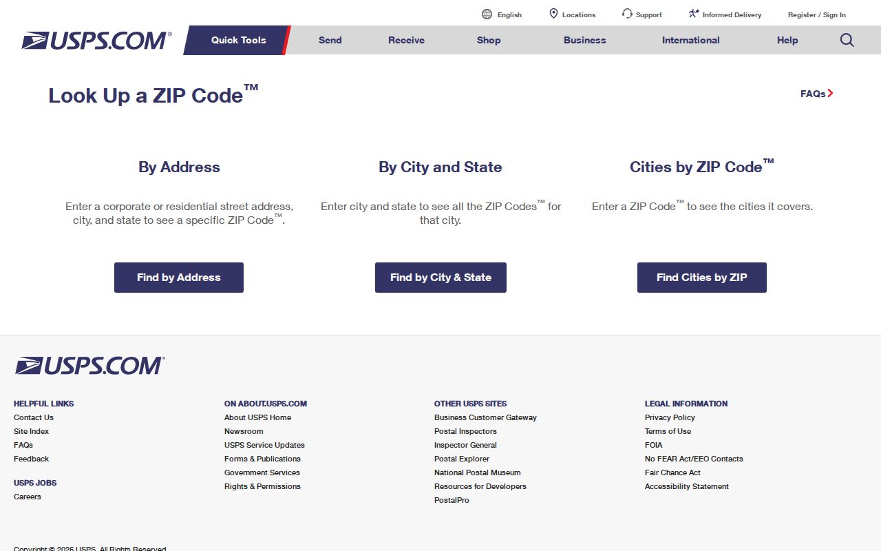
A postal match is a starting address, not a municipal finding. When a result carries 08005, 08050, or 08092, the next question is whether the parcel's municipality and physical property location place it in Stafford Township.
- Enter the complete delivery address in USPS ZIP Lookup and preserve the returned mailing form.
- Search the address in Stafford MapGeo or browse it on the Ocean County GIS map to obtain the parcel and municipal context.
- Compare the property location, block, lot, qualifier, and tax-map sheet in the tax record. Do not overwrite the situs with an owner mailing address.
- Use the parcel key in the tax list or deed index for dated property information. Those tools do not offer a ZIP-wide people search.
- When the ZIP has narrowed the work to one road, use the Stafford Township Street Directory for the address-by-address record chain.
Stafford Township Parcel Geography
The postal directory becomes reliable only after it reaches parcel geography. Stafford uses block, lot, and qualifier as its local property key, supported by municipal tax maps and Ocean County GIS. A map or parcel explorer can show whether a location is within the township's records even when its postal city suggests another place. The state-level explorer is also a useful comparison route for address, county, municipality, block, and lot work.
The New Jersey property information page provides context for the state Property Explorer used to verify a postal address against parcel geography.
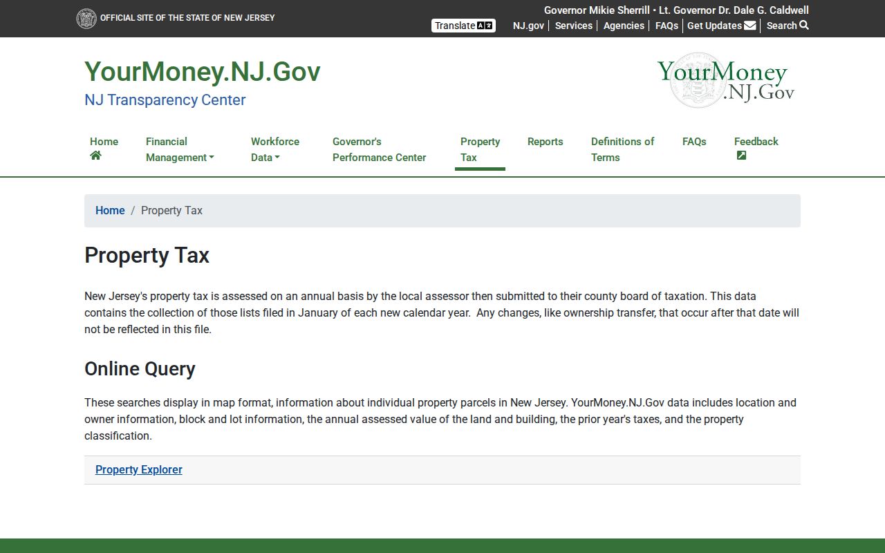
This state route does not provide a ZIP-wide resident result. Use it to check one address against county and municipal parcel information, then confirm the current land record through the local assessor or Ocean County sources.
Stafford Township's own site-plan examples show why this distinction matters: a property location can appear on South Main Street while the owner mailing address uses Manahawkin or another city and ZIP. Keep both as independent source fields.
Stafford Township Postal Record Fields
Neither the Ocean County annual tax-list search nor the SR1A sales search has a ZIP field. They use address and legal-property fields instead. The following field inventory is important because it shows the pivot from a postal label to an official property record. A ZIP should never be used to infer that a person or property is within Stafford Township without this second check.
| Ocean County search field | Available in | Use after ZIP check | ZIP filter? |
|---|---|---|---|
| Municipality | Tax list and SR1A | Set Stafford Township before comparing parcel results. | No |
| Block | Tax list and SR1A | Use the map or assessor result to focus on the legal property key. | No |
| Lot and qualifier | Tax list and SR1A | Search both dotted and normalized forms where the interface requires it. | No |
| Property class and location | Tax list | Compare the displayed location with the delivery address. | No |
| Sale date, price, usable code | SR1A | Use a dated sale lead, then verify it in the recorded deed. | No |
The Ocean County Tax Board search is thus a parcel and municipality tool, not a ZIP filter. MapGeo and GIS may have dynamic controls, but the research text did not expose an exact ZIP filter in either interface. Record a no-filter condition rather than implying one exists.
Note: No official Stafford ZIP-wide resident export, ZIP-specific population, or complete ZIP-boundary polygon was located in the reviewed sources.
Stafford Township Postal Geography
Postal geography and municipal geography answer different questions. 08050 is the Manahawkin label used at the Stafford municipal center and the Ocean County Southern Service Center. 08092 identifies the West Creek postal context and appears with South Main or Mayetta-area material. 08005 appears in some official northern, western, or rural property material toward the Barnegat and Cedar Bridge side. None of those labels alone defines a township edge.
- Postal code
- A postal delivery label used to route mail. It can cross municipal boundaries and does not identify a legal jurisdiction.
- ZIP+4
- An additional postal delivery code for a more specific address or delivery segment. Use USPS to verify it for an exact address.
- PO-box ZIP
- A ZIP used for post-office boxes. The research did not confirm a Stafford-specific PO-box-only exception.
- Unique ZIP
- A ZIP assigned to one institution or organization. No verified Stafford-specific unique ZIP was located.
- Carrier route
- A postal delivery grouping. It is not a municipal parcel boundary or a resident roster.
This geography section reflects the recorded gap. An exact overlap for 08005, 08050, and 08092 requires USPS ZIP+4 or Census ZCTA GIS verification, and should not be invented from a mailing city.
Stafford Township Postal Service Points
The West Creek post office is a concrete postal reference for the 08092 label. It helps distinguish a delivery-location result from a tax or deed jurisdiction. The postal facility does not maintain a public Stafford Township resident list and should not be used to connect a person to an address.
The official USPS West Creek location page supplies the facility's listed address, hours, and phone information.
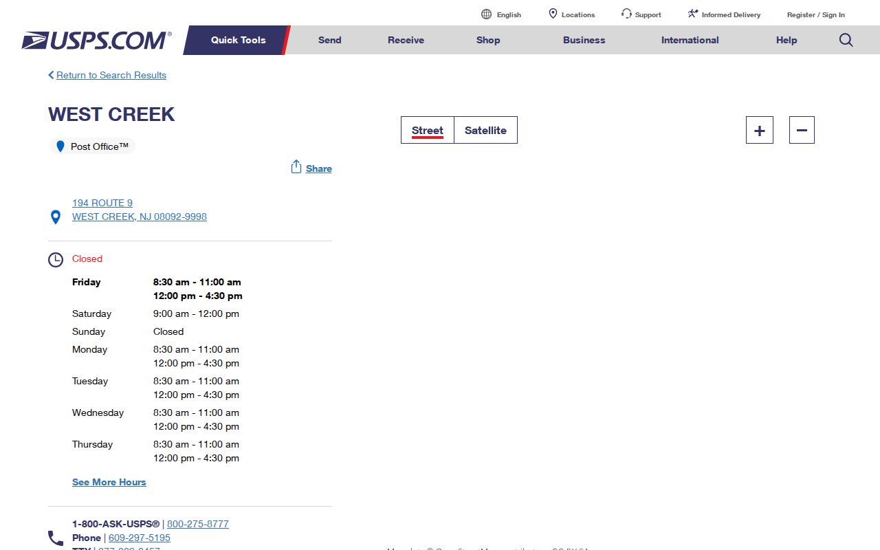
The listing supports the 08092 postal context. It does not settle whether a nearby address is inside Stafford Township, so the next check remains the parcel geometry and municipal field.
Stafford Township Voter Records by ZIP
New Jersey's public voter status route is not a ZIP-browse tool. The Voter Information Portal uses first name, optional middle initial, last name, and birth month and year. A status result should be recorded exactly and treated as limited. It is not a way to build a postal directory of residents or to decide who occupies every address in a delivery area.
The county's formal election-file request route is the alternative when a lawful records question calls for permitted voter data. N.J.S.A. 19:31-18 makes registry lists available with specified fields, while signatures and protected personal information are withheld. Address protections, election privacy rules, Daniel's Law, and the Address Confidentiality Program can affect what is released. Retain the request scope, delivery format, and access limitation.
Stafford Township Historic Postal Labels
Postal labels are modern tools, so historical address work must follow the label printed at the time. Stafford Township records may use Manahawkin, Mayetta, West Creek, Ocean Acres, Beach Haven West, Cedar Bonnet Island, or Stafford Forge. Older sources may use Manahawken, Manahoching, or Manahohacky. Search that locality family along with the street, parcel key, or date, then preserve the source's spelling.
For a family-history or place-history lead, Ocean County Library resources, dated newspapers, Phonefiche, and local histories can add context. Phonefiche's documented Ocean County white-page titles span 1978 through 2005, although the guide notes a missing 1983 page. Pair a printed address with the parcel and document date. Reverse directories do not track current ZIP boundaries reliably, and no verified Stafford-specific criss-cross run was located.
Stafford Township ZIP Code Limits
A postal directory can guide an address check, but it cannot prove municipal residence, ownership, identity, or a relationship. A postal city can cover nearby municipalities, and a property record may include a mailing address outside the township. The reliable chain is USPS label, exact address, parcel geometry, municipality, tax or deed record, and source date. Each link has a different purpose.
New Jersey records may also contain lawful redactions. Daniel's Law can limit protected owner or address fields, and OPRA, election, vital-record, and confidentiality rules restrict other information. Treat masked data, a no-match, or a conflicting mailing label as an access condition. Do not fill the gap with an assumption about a private person.
Postal limits. Use Stafford Township ZIP information for lawful personal research and address verification. Never use a delivery label to harass, stalk, or pressure another person.